 |
 |
 |
||||
 |
 |
 |
 |
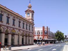
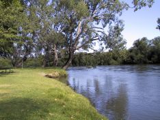
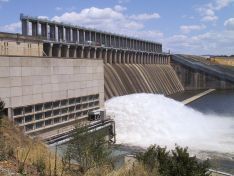
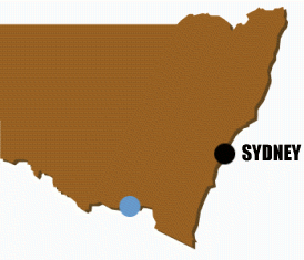
| Albury facts and figures: | Albury location map: | |||||||||
|
 |
|||||||||
| Albury transport information: | ||||||||||
|
||||||||||
About us - Contact us - Privacy - Terms of use
© 2022. Travel NSW - www.travelnsw.com.au - New South Wales, Australia
Increase Direct Bookings with
Roomstay Hotel Booking Engine